Sports
Sports
Popular
Cycling
Cycling
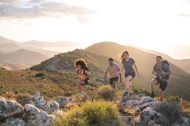
Hiking
Hiking
Running
Running
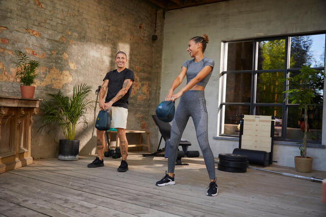
Fitness & Gym
Fitness & Gym
Camping
Camping
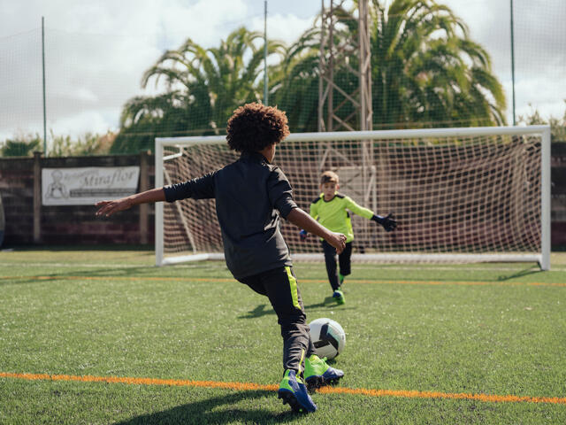
Football
Football
Swimming
Swimming
Kayaking
Kayaking
More sports
Country Sports
Country Sports
Fishing
Fishing
Golf
Golf
Horse Riding
Horse Riding
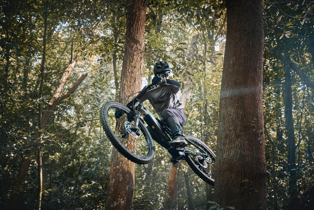
Mountain Biking
Mountain Biking
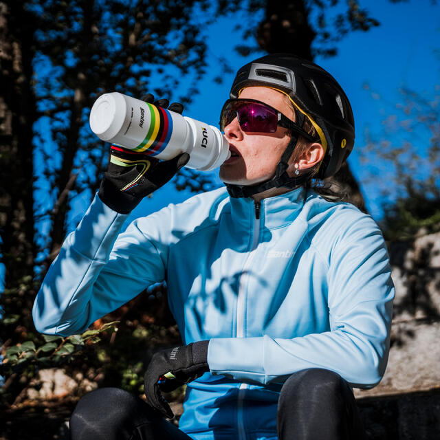
Road Cycling
Road Cycling
Roller Skating
Roller Skating
Stand Up Paddle
Stand Up Paddle
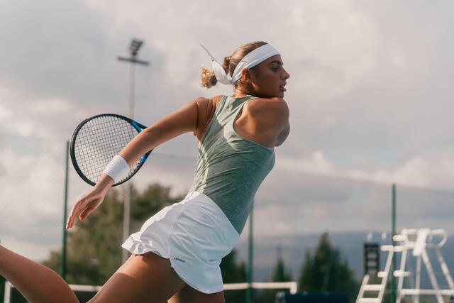
Tennis
Tennis
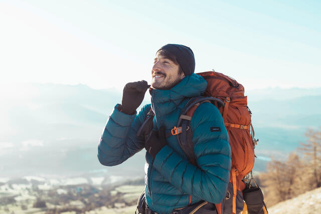
Trekking
Trekking
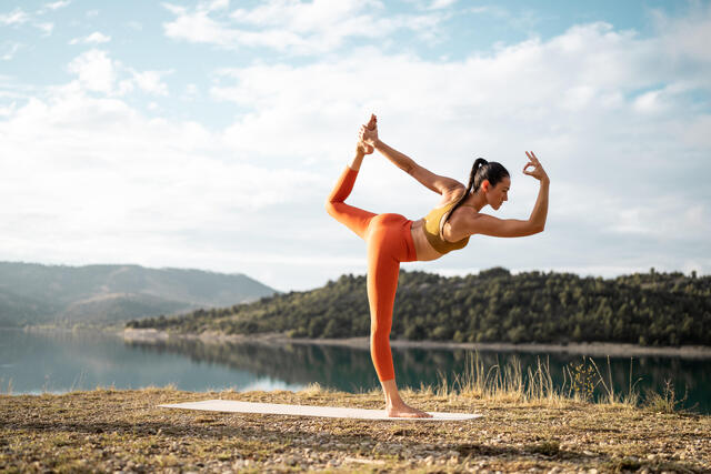
Yoga
Yoga
Basketball
Basketball
Rugby
Rugby
Scootering
Scootering
Climbing
Climbing
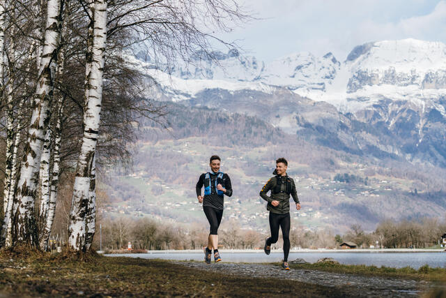
Trail Running
Trail Running
Snowboarding
Snowboarding
Mountaineering
SlacklinesMountaineering
Via Ferrata, Canyoning and Caving
Winter SportsAqua FitnessVia Ferrata, Canyoning and Caving
Water Polo
Water Polo
Surf
Surf
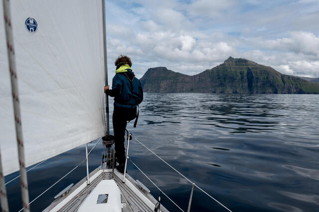
Sailing
Sailing
Snorkelling
Snorkelling
Scuba Diving
Scuba Diving
Spearfishing
Water Skiing and WakeboardingSpearfishing
Kitesurfing and Windsurfing
Kitesurfing and Windsurfing
Wing Foil
Wing Foil
Kiting
Frisbee and BoomerangsKiting
Skiing
Cross-TrainingHIIT TrainingBodybuildingSkiing
Boxing
Boxing
Pilates
Pilates
Gymnastics
Gymnastics
Martial Arts
Martial Arts
Kids PE & Gym
Kids PE & Gym
Dance
Dance
Gym Gear for Babies
Gym Gear for Babies
Athletics
Athletics
Triathlon
OrienteeringTriathlon
Nordic Walking
Nordic Walking
Power Walking
Power Walking
Cricket
Cricket
Handball
Handball
Field Hockey
American FootballField Hockey
Baseball
Baseball
Roller Hockey
NetballRoller Hockey
Volleyball and Beach Volleyball
Volleyball and Beach Volleyball
Badminton
Badminton
Table Tennis
Table Tennis
Squash
Squash
Padel
FrontenisBeach TennisBasque PelotaPadel
Ice Hockey
Ice Hockey
Ice & Figure Skating
Ice & Figure Skating
Skateboarding and Longboarding
Skateboarding and Longboarding
Archery
Archery
Darts
Darts
Snooker and Pool
Snooker and Pool
Boules and Petanque
Skittles and PaletWallballBoules and Petanque
Carp Fishing
Carp Fishing
Predator fishing
Predator fishing
Coarse & Match Fishing
Coarse & Match Fishing
Sea fishing
TeqballRacketballRace WalkingSea fishing
Floorball
Table FootballFloorball
Bushcraft - Bivouac
See all sportsBushcraft - Bivouac
Women
Women
Shop all Women
Clothing
Clothing
Shoes
Shoes
Activewear
Activewear
Swimwear
LoungewearSwimwear
Bikes
AthleisureBikes
Plus Size Clothing
Plus Size Clothing
Bags and Accessories
SalesBags and Accessories
Men
Men
Shop all Men
Clothing
Clothing
Shoes
Shoes
Bikes
Bikes
Activewear
Activewear
Swimwear
Swimwear
Bags and Accessories
LoungewearAthleisurePlus Size ClothingSalesBags and Accessories
Kids
Kids
Shop all Kids
Clothing
Clothing
Shoes
Shoes
Outdoor Activities
Outdoor Activities
Bags and Accessories
Bags and Accessories
Baby and Toddlers
Baby and Toddlers
Swimwear and Beachwear
Back To SchoolSalesSwimwear and Beachwear
Accessories
Accessories
Shop all Accessories
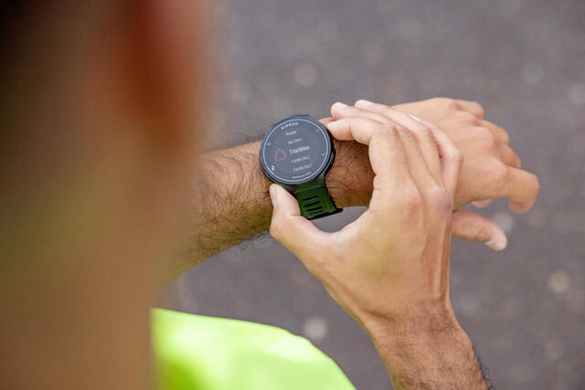
Sports Electronics
Sports Electronics
Bags
Bags
Footwear Accessories
Footwear Accessories
Water Bottles, flasks and protein shakers
SunglassesFace MasksUmbrellasWater Bottles, flasks and protein shakers
Navigational Equipment
Navigational Equipment
Hats, Headwear and Gloves
Rain Poncho and CapesTowel and Towel PonchosHats, Headwear and Gloves
Nutrition and Body Care
Nutrition and Body Care
Shop all Nutrition and Body Care
Protein
Protein
Food and Snacks
Food and Snacks
Vitamins & Supplements
Vitamins & Supplements
Hydration
Hydration
Energy Supplements
Energy Supplements
Pre, Intra and Post-Workout
Pre, Intra and Post-Workout
Protein Shakers & Water Bottles
Protein Shakers & Water Bottles
Recovery and Injury
Recovery and Injury
Skin and Body Care
Skin and Body Care
Workshop Services and Spare Parts
Workshop Services and Spare Parts
Shop all Workshop Services and Spare Parts
Repair Your Product Yourself
Repair Your Product Yourself
Repair Your Product With Us
Repair Your Product With Us
Brands
Brands
Designed by Decathlon